Catalog Archive
Auction 117, Lot 578
"Praefecturae Leucopetranae…", Seutter/Lotter
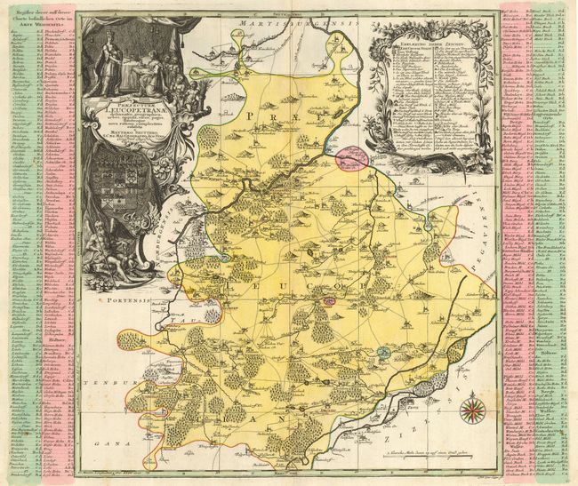
Subject: Germany
Period: 1730 (circa)
Publication:
Color: Hand Color
Size:
17.5 x 19 inches
44.5 x 48.3 cm
Download High Resolution Image
(or just click on image to launch the Zoom viewer)
(or just click on image to launch the Zoom viewer)