Catalog Archive
Auction 117, Lot 540

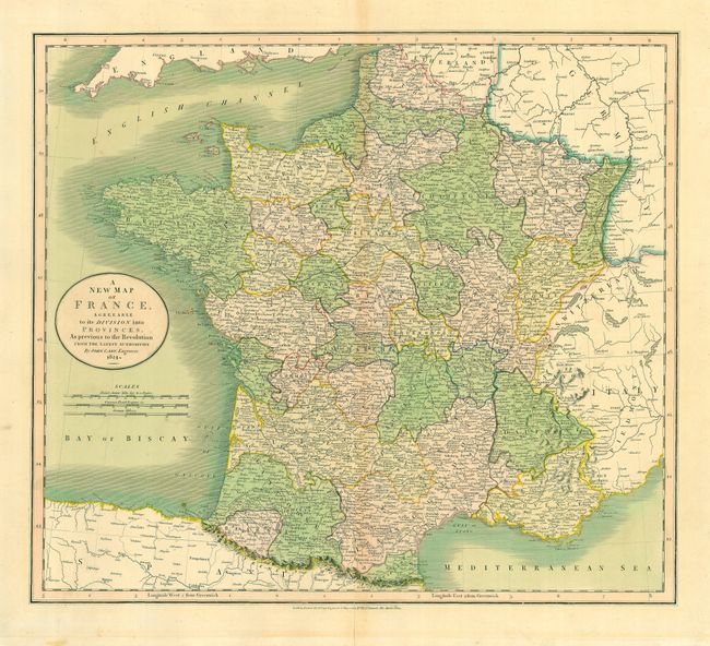
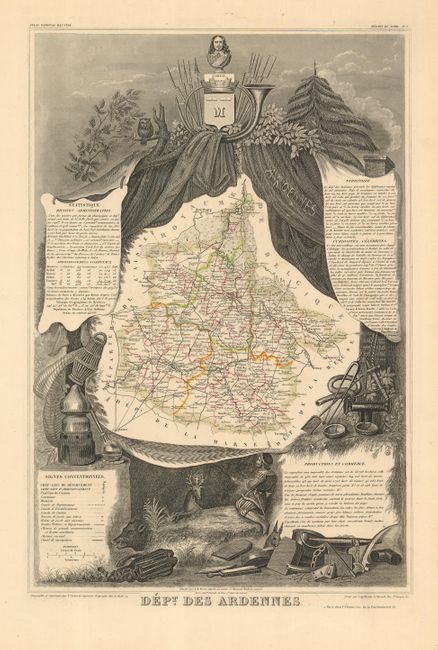
"[Lot of 2] A New Map of France Agreeable to its Division into Provinces, As previous to the Revolution from the Latest Authorities [together with] Dept. Des Ardennes",

Subject: France

Period: 1827-1850 (circa)

Publication:

Color: Hand Color

Size:
See Description
Download High Resolution Image
(or just click on image to launch the Zoom viewer)

A complementary pair of attractive, mid-19th century maps of France.

1) A New Map of France Agreeable to its Division into Provinces, As previous to the Revolution from the Latest Authorities is an attractive, large map with good detail throughout, including roads and towns. The map also shows the English Channel and the Channel Islands. Published by John Cary, dated 1827. (20 x 18")
2) Dept. Des Ardennes is a decorative map of this department in northern France surrounded by steel engravings featuring the important products of the region. There is a portrait of Henri de la Tour d'Auvergne, Vicomte de Turenne, who was born in this region in 1611. Turenne later became Marshall of France and was greatly admired by Napoleon, who had his remains placed in Les Invalides in 1800. Published by Victor Levasseur, circa 1850. (11.5 x 17.2")

References:

Condition: B

1) Lovely original color. There is a light mat burn and some staining in the lower left margin. Hinge remnants on verso.<br> 2) Very nice impression with original outline color. Very light toning.

Estimate: $120 - $170

Sold for: $80

Closed on 12/6/2006

Archived