Catalog Archive
Auction 117, Lot 485
"Namurcum", Ortelius, Abraham
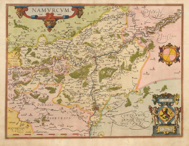
Subject: Belgium
Period: 1579 (dated)
Publication: Theatrum Orbis Terrarum
Color: Hand Color
Size:
20 x 15 inches
50.8 x 38.1 cm
Download High Resolution Image
(or just click on image to launch the Zoom viewer)
(or just click on image to launch the Zoom viewer)