Catalog Archive
Auction 117, Lot 457

"L'Escosse deca le Tay, divisee en ses Provinces…", Sanson/Mariette
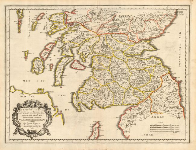
Subject: Scotland

Period: 1665 (dated)

Publication:

Color: Hand Color

Size:
21.3 x 16 inches
54.1 x 40.6 cm
Download High Resolution Image
(or just click on image to launch the Zoom viewer)

Beautiful map of southern Scotland based on the cartography of Timothy Pont and Robert Gordon, per the inscription. The area shown is from the border of England to Aberdeen. Glasgow is roughly in the center of the map, and it is here called Glasquo. The coastal area shows the Firth of Clyde, Firth of Lorg and names the islands from Arran to Mull as well as part of the coast of Ireland and England.

References:

Condition: B

Crisp impression with a minor printer's crease and some printer's ink residue. Minor soil in blank margins.

Estimate: $250 - $325

Sold for: $150

Closed on 12/6/2006

Archived