Catalog Archive
Auction 117, Lot 448

"Anglia", Ortelius/Galle

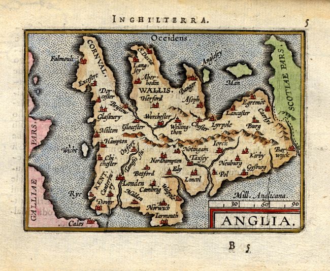
Subject: England & Wales

Period: 1602 (published)

Publication: Breve compendio dal theatro

Color: Hand Color

Size:
4.1 x 3 inches
10.4 x 7.6 cm
Download High Resolution Image
(or just click on image to launch the Zoom viewer)

Fine miniature map of England drawn from the English portion of Ortelius' map of the British Isles. North is oriented to the right of the map. The major cities, rivers and mountains are located. The map is enclosed in simple double-line borders and the title is enclosed in a simple block-style cartouche with a distance scale at lower right. This map was engraved by Galle for his 1595 pocket atlas and here used by Jan Baptist Vrients in his first Italian edition prior to replacing the map with one of his own. Italian text on verso.

References: King (1st ed.) p.141.

Condition: A

Minor damp stains in blank margins.

Estimate: $140 - $180

Sold for: $150

Closed on 12/6/2006

Archived