Catalog Archive
Auction 117, Lot 283

"City of New York", Morse & Breese

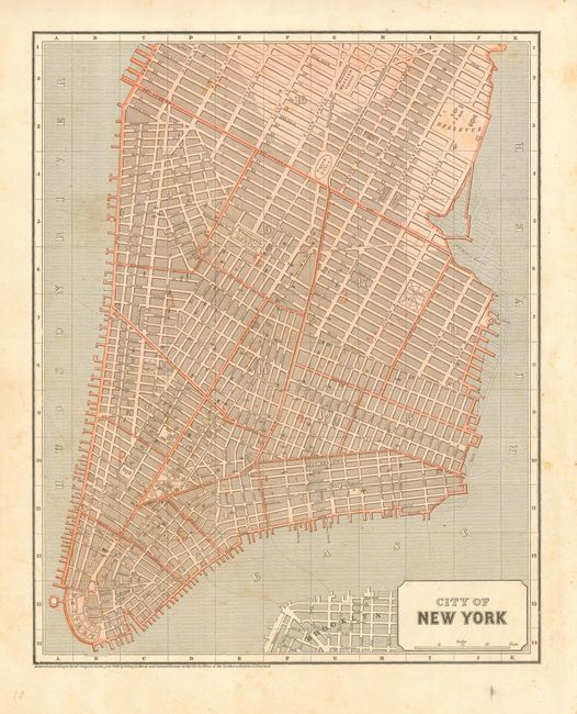
Subject: New York City

Period: 1842 (dated)

Publication: Morse's North American Atlas

Color: Printed Color

Size:
15 x 12 inches
38.1 x 30.5 cm
Download High Resolution Image
(or just click on image to launch the Zoom viewer)

An early printed color map that covers the city north to 32nd Street in the east and to above Madison Square, showing just a little of Brooklyn. The wards are numbered and developed areas engraved in a shaded style. Locates Bowling Green, Hudson Square, Rutgers Place, Union Place and much more. The Lumber Basin shows dotted lines representing planned reclamation with the streets to be built extending into the water. The map was produced with the cerographic color printing process. It proved to be too expensive at the time it was introduced by Morse & Breese and did not come into general usage until the later part of the nineteenth century.

References: Philips (A) #1228-11.

Condition: B+

Very nice impression with wide margins. A little light foxing visible in blank areas, else very good.

Estimate: $140 - $180

Unsold

Closed on 12/6/2006

Archived