Catalog Archive
Auction 117, Lot 264

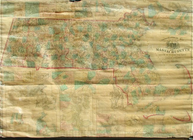
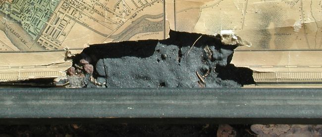
"Topographical Map of the State of Massachusetts Based on the Trigometrical Survey by Simeon Borden, The Details from Actual Surveys…", Walling, Henry F.

Subject: Massachusetts

Period: 1861 (dated)

Publication:

Color: Hand Color

Size:
74.5 x 55 inches
189.2 x 139.7 cm
Download High Resolution Image
(or just click on image to launch the Zoom viewer)

A beautifully engraved and handsome wall map that presents very fine detail throughout. The map is surrounded by city plans and numerous inset maps including thematic maps and a fine geological chart. There are twenty-two town plans around the map including Boston and Vicinity, New Bedford, Springfield, and Worchester. The map is embellished with a decorative keyboard-style border, fancy titling and a large cartouche.

References:

Condition: C

Clear varnish and both rollers attached. Area of loss at top center that affects about 3" of border and just touches the town plans of Lowell and Fitchburg. The map is loose from the lower roller on the right side.

Estimate: $250 - $350

Unsold

Closed on 12/6/2006

Archived