Catalog Archive
Auction 116, Lot 887

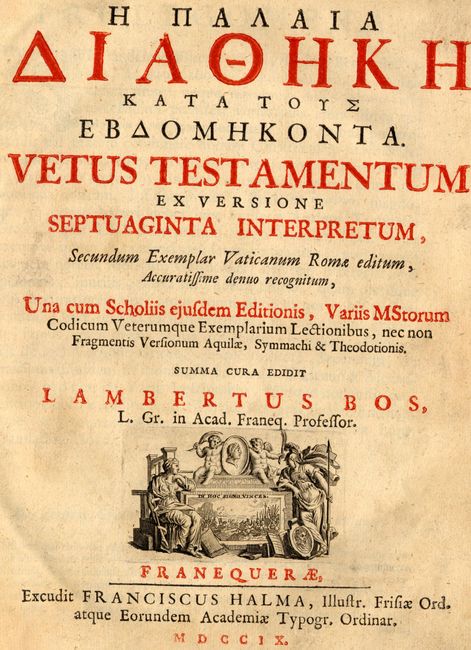
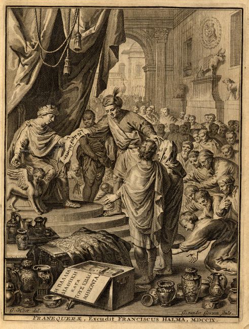
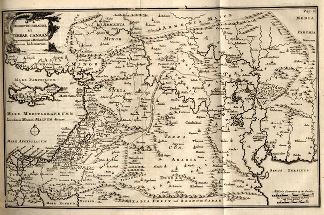
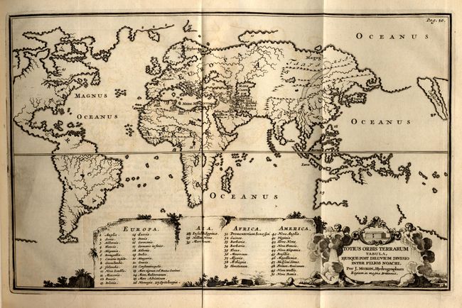
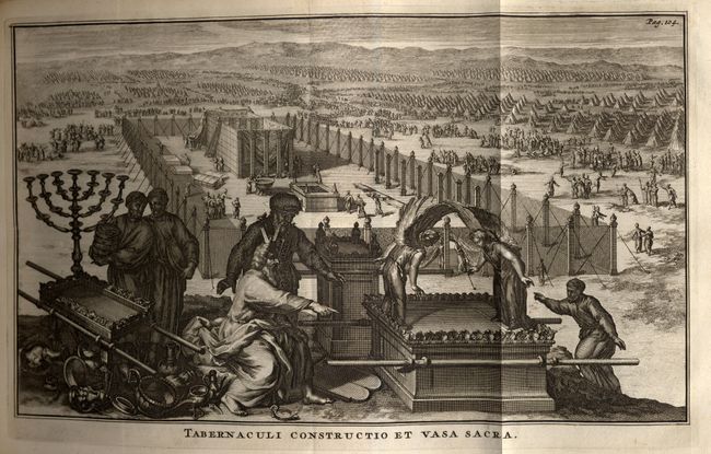
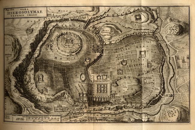
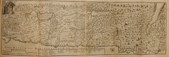
"Vetus Testamentum ex Versione Septuaginta Interpretum, Secundum Exemplar Vaticanum Rome editium…", Halma, Francois

Subject: Bible

Period: 1709 (dated)

Publication:

Color: Black & White

Size:
8 x 10 inches
20.3 x 25.4 cm
Download High Resolution Image
(or just click on image to launch the Zoom viewer)

This is a fine octavo Greek Bible with four, folding maps and a plate of the Tabernacle (Tabernaculi Construcctio et Vasa Sacra). Includes the engraved frontispiece, "Franequerae, Excudit Franciscus Halma, MDCCIX." Hard bound in original vellum, frontispiece, title page (printed in red & black), text and plates, 326 pp. Halma's bibles normally contain five maps, but in this example Het Beloofde Land (ref: Poortman & Augusteijn #168) is missing and there is no indication that it was originally included. A fine and, apparently, complete Bible published for the Greek audience. The maps measure approximately 13" x 8.5" unless otherwise noted, and include:

1) Descriptio Paradisi, et Terrae Canaan Regionumque a Patriachis primum habitatarum. This map displays the Middle East from the Mediterranean Sea to the Persian Gulf. The Garden of Eden is located in present-day Iraq, near the city of Babylon. Abraham's journey from Ur is shown. The title cartouche features the serpent in the apple tree. Ref: Poortman & Augusteijn #166.
2)Totius Orbis Terranum Tabula, Ejusque Post Diluvium Divisio Inter Filios Noachi, per J. Moxon. This lovely map is presented on Mercator's projection showing the division of the world between Noah's sons. It shows Europe, Africa and Asia at center and South America and part of North America at left. The island of California is placed at the extreme right of the map. There is practically no detail other than rivers and mountain ranges, except for a tiny engraved depiction of the Garden of Eden located just south of the Caspian Sea. Large table at bottom with numeric key lists major locations throughout the world. The title cartouche includes a scene of Noah's Ark and the great flood. Ref: Poortman & Augusteijn #165.
3) Tabula Geographica Terrae Sanctae Auctore J. Bonfrerio (25.5" x 8.5"). This uncommon map of Israel is after the Flemish theologian, Jacques Bonfrere. Oriented with north at top left and divided into the twelve tribes with a key at bottom. The Wandering of the Children of Israel is shown with the forty-two encampments. The title cartouche includes Moses, Aaron and a Roman soldier. Printed on two joined sheets. Ref: Poortman & Augusteijn #167
4) Vera Hierosolymae Veteris Imago. Fine map of Jerusalem based on Villalpando's foundation map of the city. The plan shows only the major religious sites, uncluttered by habitations and beautifully engraved to show the surrounding topography. Ref: Poortman & Augusteijn #168.

References: Poortman & Augusteijn p. 237.

Condition: A

The maps and plate are in very good to fine condition, some with even age toning. The sheepskin has torn at the spine and is uneven in places due to shrinkage. Internally it is generally clean and bright. Owner's bookplate on first blank pastedown page.

Estimate: $800 - $1,200

Sold for: $600

Closed on 9/20/2006

Archived