Catalog Archive
Auction 116, Lot 877

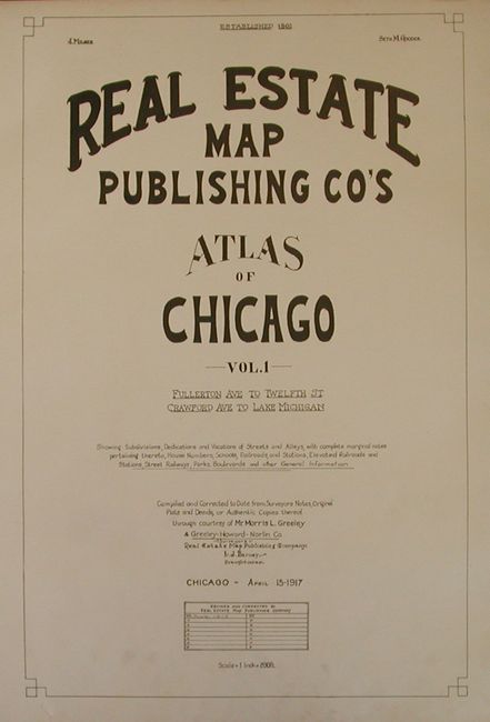
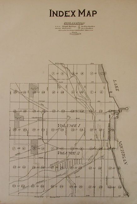
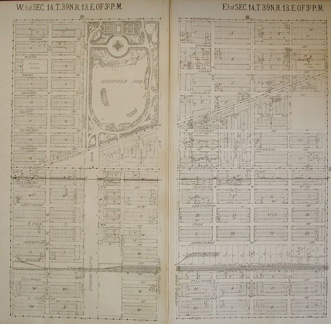
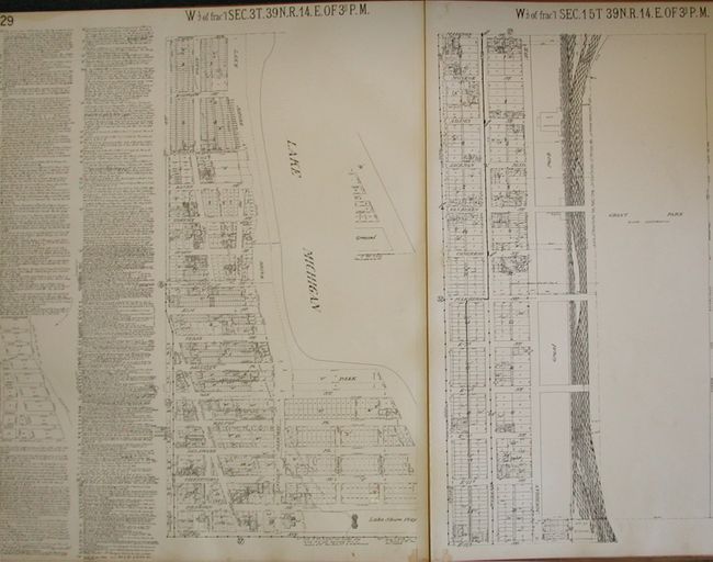
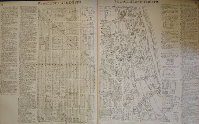
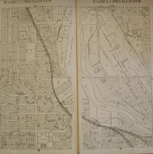
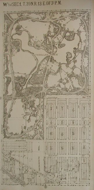
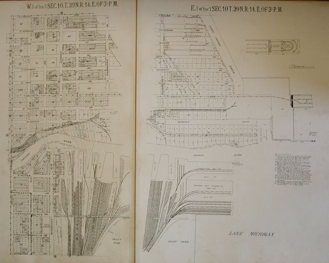
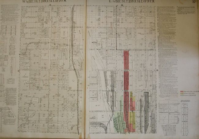
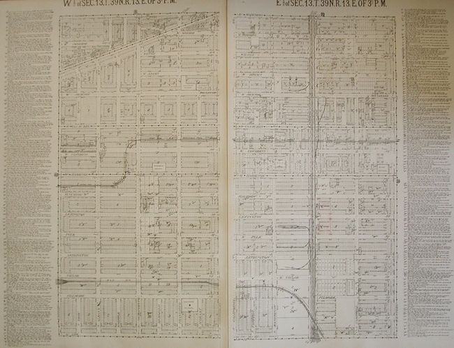
"Real Estate Map Publishing Co's Atlas of Chicago Vol 1 Fullerton Ave. to Twelfth St. Crawford Ave. to Lake Michigan",

Subject: Atlases, Chicago Illinois

Period: 1917 (published)

Publication:

Color: Black & White

Size:
23.5 x 29.5 inches
59.7 x 74.9 cm
Download High Resolution Image
(or just click on image to launch the Zoom viewer)

This large, elephant folio atlas is a remarkable find. Real estate, title, and insurance companies used these atlases. They were usually discarded when they became outdated and are quite scarce outside of public institutions. This commercial atlas of Chicago shows the heart of the city on 40 single-page street plans, each approximately 22.5 x 27.5", plus an Index Map and a Gov't Survey map, both with keys to the individual maps. The maps are a graphic depiction of the city with each street map including extensive notes on each property related to sub-division, property owner, survey notes, additions, changes, water mains, sewers and rail lines. All maps are drawn on a common scale of 200 feet per inch. Dated April 15, 1917, there are manuscript revisions to June, 1919 as noted on the title page, and some hand coloring. All maps are "Compiled and Corrected to Date from Surveyor's Notes, Original Plats and Deeds, or Authentic Copies thereof through courtesy of Mr. Morris L. Greeley & Greeley - Howard - Norlin Co." Elephant folio, hardbound in cloth with gilt red cloth label "Chicago Vol. 1 / Old Limits / 1917," and red cloth spine and tips. Small paper label at bottom of front cover "#49 - Table - S - 8 Chicago, Vol. 1. 1917."

References:

Condition: A

Maps are all very good to fine. Covers are rubbed and abraded with most of spine cloth missing.

Estimate: $800 - $1,200

Sold for: $1,300

Closed on 9/20/2006

Archived