Catalog Archive
Auction 116, Lot 863

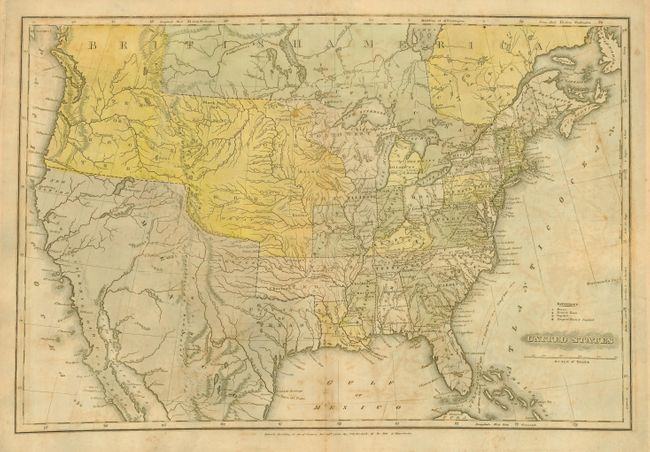
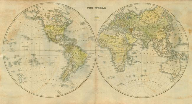
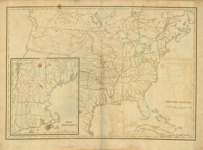
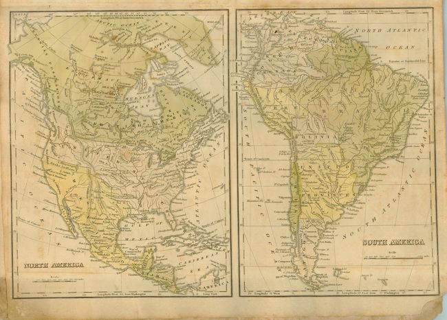
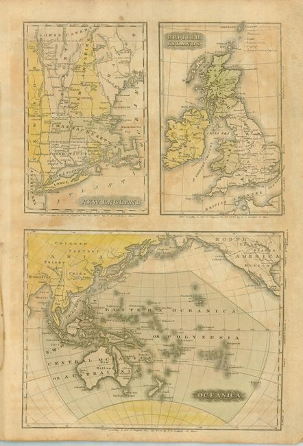
"Goodrich's School Atlas, with Outline Maps", Goodrich, Samuel Griswold

Subject: Atlases

Period: 1826 (dated)

Publication:

Color: Hand Color

Size:
10.2 x 14.3 inches
25.9 x 36.3 cm
Download High Resolution Image
(or just click on image to launch the Zoom viewer)

This rare school atlas is in its original paper wrappers with all maps copyrighted 1826 by S.G. Goodrich. The U.S. maps are both double-page (18.5 x 12.4") and feature the Western or Oregon Territory extending well into today's Canada. On the back cover are listed other school books offered for sale with long descriptions for each. Tall, 4to, printed wrappers, 10 maps, some on same sheet, and three outline maps. The world map is extra large (25 x 12.8"). This atlas is not listed by Rumsey, Baskes or Phillips. The accompanying geography is on Rumsey's website (Rumsey 302) and mentions an edition of the atlas, being Phillips 6055. However, Phillips 6055 has only seven maps, and is a smaller version than this apparently undocumented example.

References:

Condition: B

Cover with some wear and staining at top on back. Maps with scattered foxing.

Estimate: $600 - $800

Sold for: $300

Closed on 9/20/2006

Archived