Catalog Archive
Auction 116, Lot 833

"Chart of the Archipelago of Navigators…", La Perouse, Comte Jean F. Galoup, de

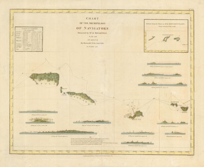
Subject: Pacific Islands

Period: 1798 (dated)

Publication:

Color: Hand Color

Size:
19.3 x 15.3 inches
49 x 38.9 cm
Download High Resolution Image
(or just click on image to launch the Zoom viewer)

From the English edition of La Perouse's Voyages, this map shows the Samoan Islands with good detail of the shoreline of Pola, Oyolava, Maouna, Fanfoue, and Opoun Islands with the tract of the ships indicated. Eleven profile views of the islands are keyed to positions on the chart. An inset shows Bougainville's tract through the islands, and a table gives the latitude & longitude of the major islands. Published by G.G. & J. Robinson.

References:

Condition: B

Some repairs along centerfold and some extraneous creases.

Estimate: $200 - $240

Sold for: $150

Closed on 9/20/2006

Archived