Catalog Archive
Auction 116, Lot 815

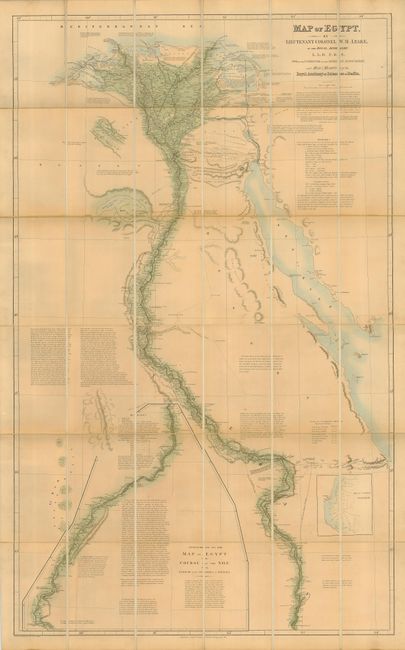
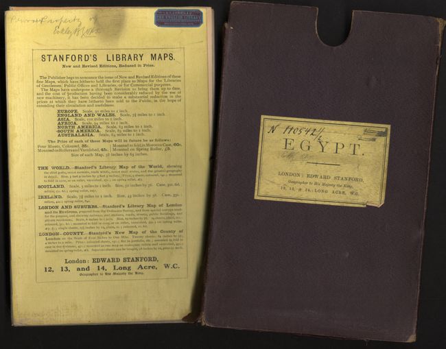
"Map of Egypt by Lieutenant Colonel W. M. Leake of the Royal Artillery…", Stanford, Edward

Subject: Egypt

Period: 1840 (circa)

Publication:

Color: Hand Color

Size:
28.5 x 48.8 inches
72.4 x 124 cm
Download High Resolution Image
(or just click on image to launch the Zoom viewer)

This extremely detailed map of the course of the Nile was produced by William Martin Leake, a leading British authority on the topography of the region. In March 1802, Leake was employed to make a general survey of Egypt together with W.R. Hamilton and Charles Hayes. On his return to England, his ship sank and all Leake's valuable notes on the Egyptian survey perished. His chart was subsequently published in 1818 after his retirement, incorporating additional material from Sir Alexander Bryce, M. Nouet, and others. The map provides extensive information on the Nile, ancient ruins, the Suez Canal, roads and railways, and is filled with voluminous notations. It extends south to Aswan, and beyond in an inset, as far as Dongola. First published by John Arrowsmith, this edition is by Edward Stanford. Dissected and backed with linen with paper labels containing a catalog of Stanford's Library Maps and the vendor label of G. G. Zacharia & Co. THE ENGLISH LIBRARY. Booksellers, Stationers, Photographers, etc. Opposite Cook's Office, Cairo. Complete with original cloth covered slipcase.

References:

Condition: B

Map, very good with light and evenly toned with a couple of short linen splits at edges. Case in fair condition with some chipping and bottom split, which could easily be repaired.

Estimate: $700 - $800

Sold for: $400

Closed on 9/20/2006

Archived