Catalog Archive
Auction 116, Lot 769

"China", Cluver/Jansson

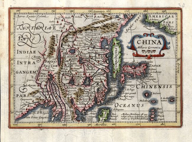
Subject: China, Korea & Japan

Period: 1661 (published)

Publication: Introductionis in Universam Geographicam

Color: Hand Color

Size:
7.8 x 5.5 inches
19.8 x 14 cm
Download High Resolution Image
(or just click on image to launch the Zoom viewer)

This lovely map of the region is based on the folio map by Jodocus Hondius and was designed originally for the Atlas Minor first published in 1628. The detail includes the eastern part of China (bounded in the west by the Great Wall) dominated by several large lakes and major rivers. Korea is depicted as a strangely shaped island, and the three main islands of Japan are included. Strapwork title cartouche. Engraved by Petrus Kaerius.

References:

Condition: A

Minor soil in margins, else fine with a dark impression.

Estimate: $300 - $375

Sold for: $250

Closed on 9/20/2006

Archived