Catalog Archive
Auction 116, Lot 727
"VII. Landkaart Palaestina volgends de hedendaagsche gesteldheid uit de Nieuwste Reizigers…", Allart, Johannes
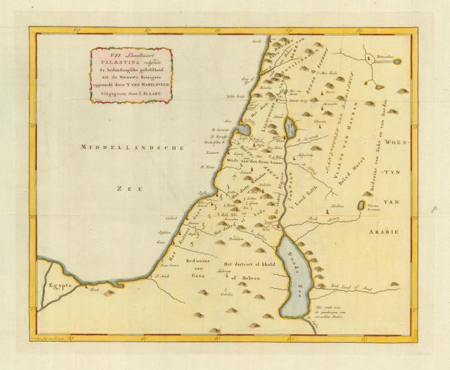
Subject: Holy Land
Period: 1794 (dated)
Publication:
Color: Hand Color
Size:
16.3 x 13 inches
41.4 x 33 cm
Download High Resolution Image
(or just click on image to launch the Zoom viewer)
(or just click on image to launch the Zoom viewer)