Catalog Archive
Auction 116, Lot 636
"Carta Marittima, Nella quale si contiene la Navigazione dal Capo della Linguetta al Capo d'Otranto…", Tentivo, Gasparo
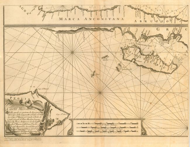
Subject: Greece and Italy
Period: 1750 (circa)
Publication:
Color: Black & White
Size:
20 x 14.4 inches
50.8 x 36.6 cm
Download High Resolution Image
(or just click on image to launch the Zoom viewer)
(or just click on image to launch the Zoom viewer)