Catalog Archive
Auction 116, Lot 513

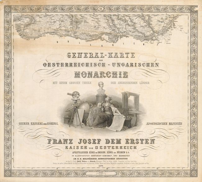
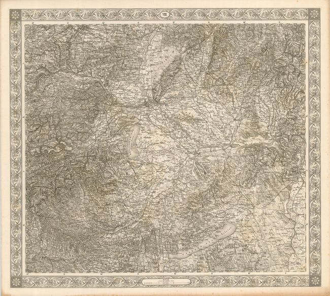
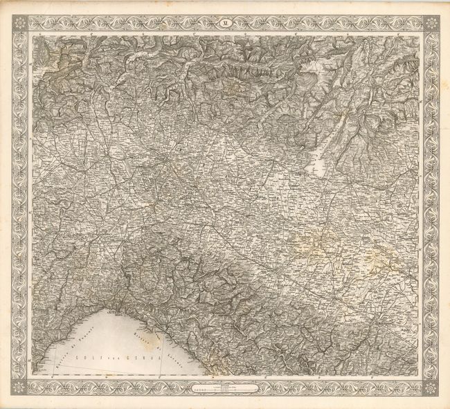
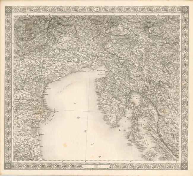
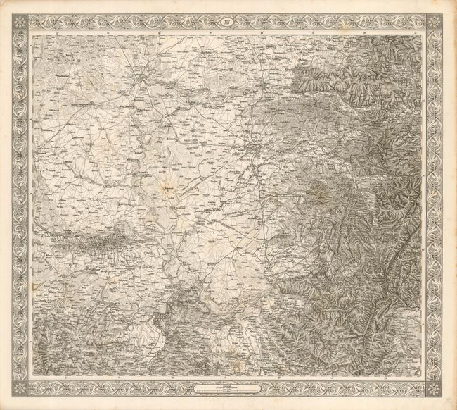
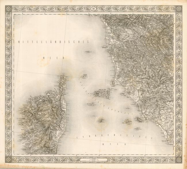
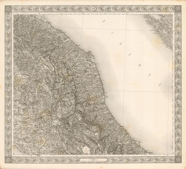
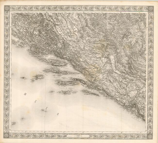
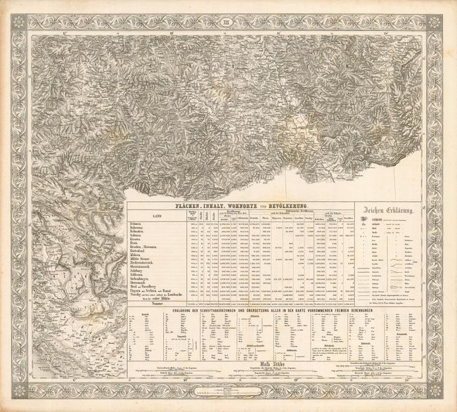
"General-Karte der Oesterreichisch-Ungarischen Monarchie mit einem grossen theile der angrenzenden lander", Ersten, Franz Josef Dem
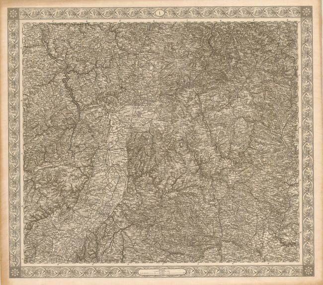
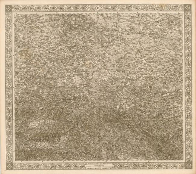
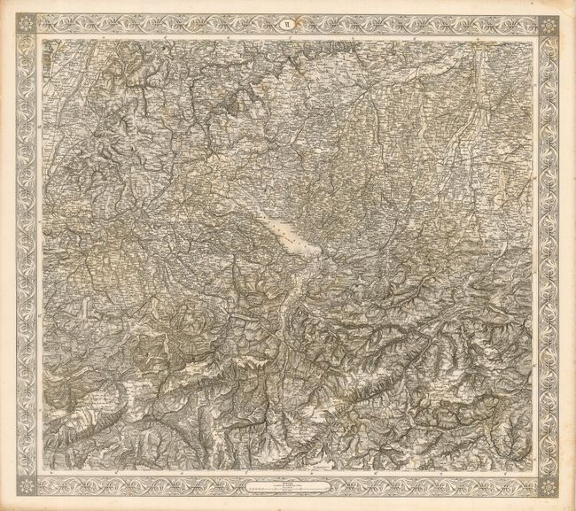
Subject: Europe - Central

Period: 1870 (dated)

Publication:

Color: Black & White

Size:
See Description
Download High Resolution Image
(or just click on image to launch the Zoom viewer)

This is a huge, 20-section map of the Austro-Hungarian Empire published in Germany. Each of the 20 sheets is mounted on linen, apparently as issued. The 20th sheet also serves as a title page with a small portion of the map above the text and being the southern extent of the map along the Danube River. It is not possible to exaggerate the extraordinary detail and information provided on each sheet - this is a monumental mapping and engraving effort. Each sheet is surrounded by a decorative, wide border. Each of these beautifully engraved and uncolored map sections measure approximately 22" x 19" including the decorative border. Drawn on a consistent scale of 1:576,000, the combined sheets equal more than 58 square feet of engraved surface! They were published by the Im K.K. Militarisch - Geografischen Institute. We find no prior sales information or references for this extraordinary map.

References:

Condition: A

Mounted on original linen each sheet is a crisp, dark impression. The sheet are fine to very good with the index sheet only good due to some surface soiling or toning.

Estimate: $600 - $800

Sold for: $650

Closed on 9/20/2006

Archived