Catalog Archive
Auction 116, Lot 512

"Map of the German Confederated States including the Kingdom of Prussia…", Wyld, James

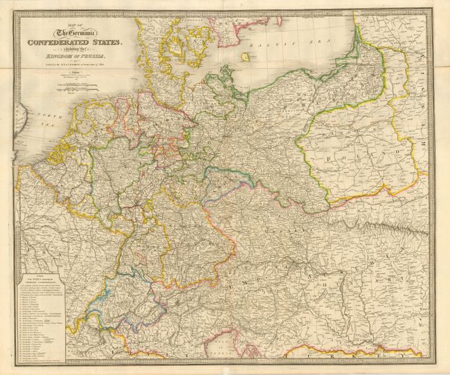
Subject: Europe - Central

Period: 1842 (dated)

Publication:

Color: Hand Color

Size:
29.8 x 25 inches
75.7 x 63.5 cm
Download High Resolution Image
(or just click on image to launch the Zoom viewer)

This is an extremely detailed map of the states comprising the German Confederation, extending from Denmark and The Netherlands to Italy and the Balkans, and from France to Russia. A table list the 30 states in the Confederation. The map is particularly notable for its depiction of the roads and early railroads. The large map is surrounded in a key-board border and is dissected and folded at top, as issued.

References:

Condition: B

Fine original outline color. Bit of light offsetting, else very good.

Estimate: $230 - $275

Sold for: $170

Closed on 9/20/2006

Archived