Catalog Archive
Auction 116, Lot 488
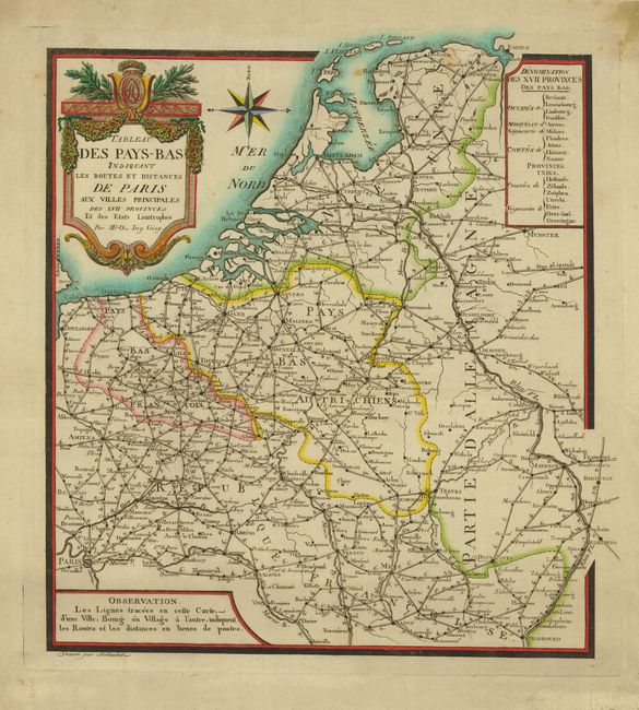
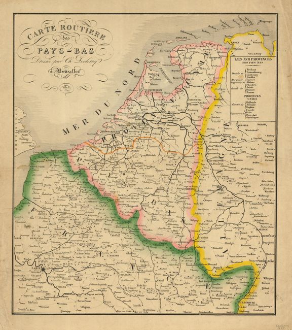
"[Lot of 2] Tableau des Pays-Bas Indiquant les routes et distances de Paris aux Villes Principales... [and] Carte Routiere des Pay-Bas",
1 of 2
Subject: Netherlands and Belgium
Period: 1794-1825 (circa)
Publication:
Color: Hand Color
Size:
13 x 14.2 inches
33 x 36.1 cm
Download High Resolution Image
(or just click on image to launch the Zoom viewer)
(or just click on image to launch the Zoom viewer)