Catalog Archive
Auction 116, Lot 456
"Nieuwe Kaart van Ierland", Tirion, Isaac
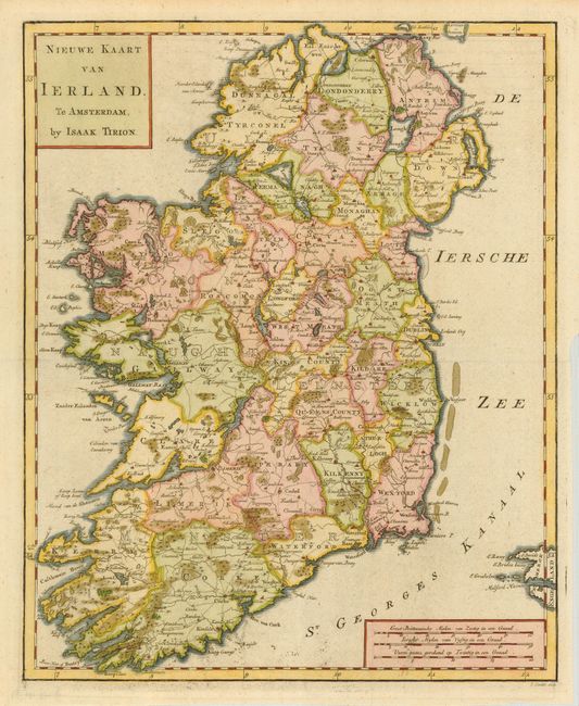
Subject: Ireland
Period: 1770 (circa)
Publication:
Color: Hand Color
Size:
10.8 x 13.3 inches
27.4 x 33.8 cm
Download High Resolution Image
(or just click on image to launch the Zoom viewer)
(or just click on image to launch the Zoom viewer)