Catalog Archive
Auction 116, Lot 406

"Terra Nova, ac Maris Tractus circa Novam Franciam, Angliam, Belgium, Venezuelam Novam Andalusiam, Guianam, Brasiliam - Terra Neuf, en de Custen van Nieu Vranckryck, Nieu Engeland, Nieu Nederland, Nieu Andalusia, Guiana en Venezuela", Wit, Frederick de

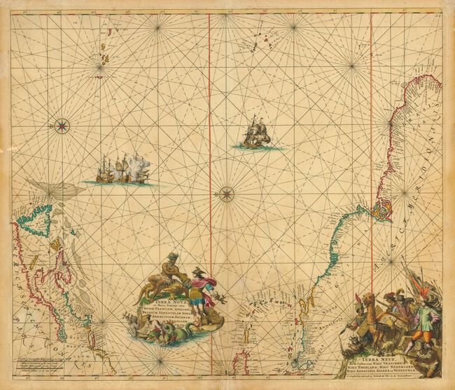
Subject: Atlantic Ocean

Period: 1675 (circa)

Publication:

Color: Hand Color

Size:
22 x 19 inches
55.9 x 48.3 cm
Download High Resolution Image
(or just click on image to launch the Zoom viewer)

This magnificent sea chart of the western Atlantic Ocean shows the coastlines of North America from Cape Charles Maryland to Newfoundland, the West Indies, and the northern coast of South America. Oriented by two compass roses with north to the left; the Azores and Cape Verde Islands are at the top of the map. It is richly decorated with two large cartouches (Latin and Dutch) surrounded by figures of explorers, natives, sea monsters and exotic animals. In the sea are sailing ships, including a raging sea battle, rhumb lines and compass roses.

References:

Condition: B

Lightly toned with some faint damp stains. Tissue repair on fold and a 4" tear along centerfold at bottom.

Estimate: $1,100 - $1,400

Sold for: $600

Closed on 9/20/2006

Archived