Catalog Archive
Auction 116, Lot 376

"The Virgin Islands from English and Danish Surveys…", Jefferys, Thomas

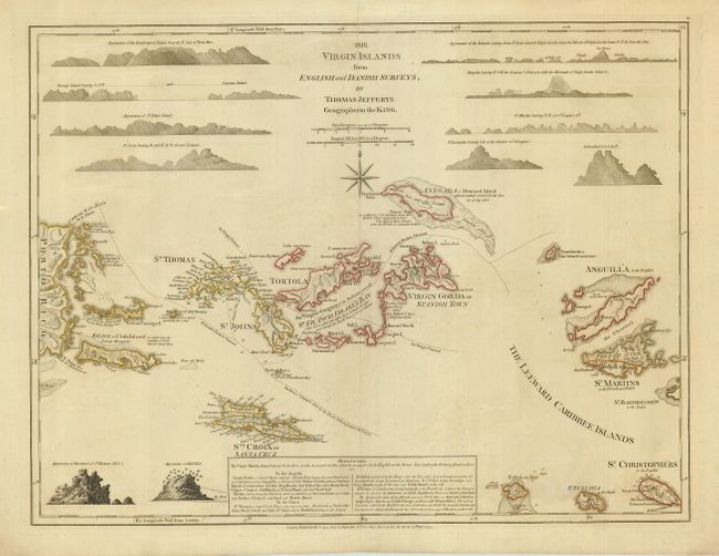
Subject: Virgin Islands

Period: 1775 (dated)

Publication: The West-India Atlas

Color: Hand Color

Size:
24 x 18 inches
61 x 45.7 cm
Download High Resolution Image
(or just click on image to launch the Zoom viewer)

This finely engraved map of the Virgin Islands depicts the English and Danish possessions. The map also covers the eastern part of Puerto Rico, Anguilla, Saint Christopher, Saint Martin, Saba and St. Eustatius. It shows anchorages, soundings, shoals, channels through the islands, and the administrative divisions of St. Croix. Relief is shown pictorially and there are several notations throughout. Sheet also includes 12 island profiles and a historical and geographical note. This is the first state, published by Robert Sayer.

References: Sellers and Van Ee #1982.

Condition: A

Good impression, printed on heavy paper, with original outline color. Hint of very faint offsetting, still overall very good.

Estimate: $2,200 - $2,500

Sold for: $4,250

Closed on 9/20/2006

Archived