Catalog Archive
Auction 116, Lot 363
"Carte Reduite du Golphe du Mexique et des Isles de l'Amerique…", Bellin, Jacques Nicolas
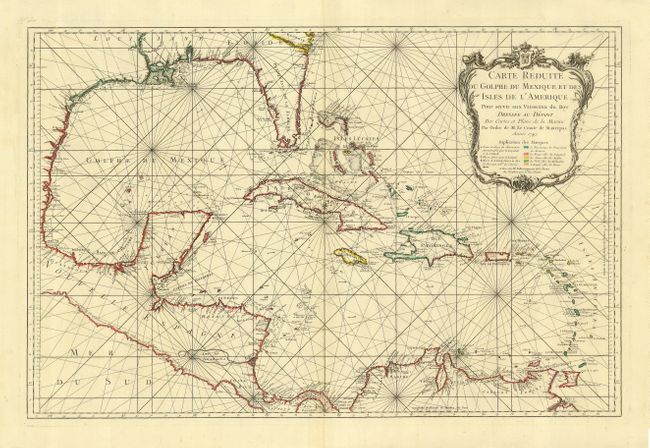
Subject: Caribbean
Period: 1749 (dated)
Publication:
Color: Hand Color
Size:
32.2 x 21.2 inches
81.8 x 53.8 cm
Download High Resolution Image
(or just click on image to launch the Zoom viewer)
(or just click on image to launch the Zoom viewer)