Catalog Archive
Auction 116, Lot 336

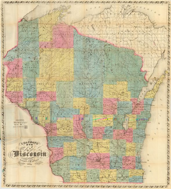
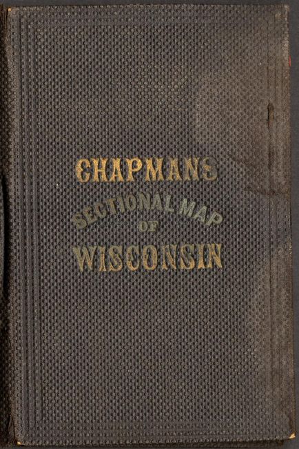
"Chapman's New Sectional Map of Wisconsin", Chapman, Silas

Subject: Wisconsin

Period: 1871 (dated)

Publication:

Color: Hand Color

Size:
29.8 x 32.8 inches
75.7 x 83.3 cm
Download High Resolution Image
(or just click on image to launch the Zoom viewer)

This is an unusually nice example of the large-scale, pocket version of Chapman's map. Printed on fine banknote quality paper and hand colored by county, the map is drawn on a scale of 10 miles to the inch and thus contains a wealth of information. The southern portion is well settled with good detail of towns and villages, roads, railroads, and more. The railroad network is well developed in the south. The northern part of the state is mostly unsettled. Locates the Chippewa Indian Reservation on Lake Superior and the Oneida Indian Reservation to the southwest of Green Bay. The map carries the copyright date of 1860; this being the updated edition of 1871. There are just a few maps listed in Phillips from this period, and this one is not among them. Folds into original brown cloth embossed covers (3.6 x 5.5"). Inside the cover is the original paper label that offers pocket maps published by Silas Chapman. A scarce issue produced and lithographed in Milwaukee.

References:

Condition: A

A few small fold intersection splits and one area with a little toning, still very good. Cover has a tear on spine and some wear along the right side.

Estimate: $300 - $350

Sold for: $550

Closed on 9/20/2006

Archived