Catalog Archive
Auction 116, Lot 266

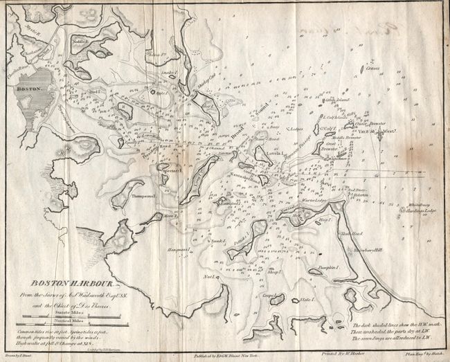
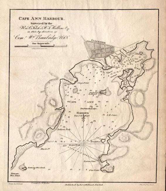
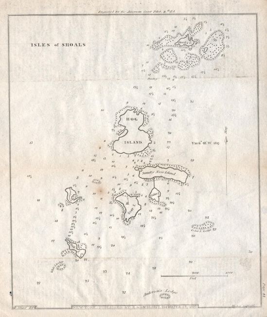
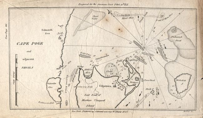
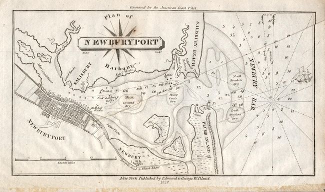
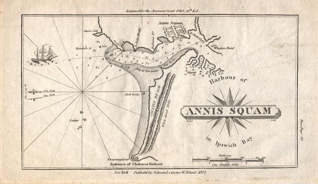
"[Lot of 6 Massachusetts coast]", Blunt, Edmund

Subject: Massachusetts

Period: 1827 (dated)

Publication: American Coast Pilot

Color: Black & White

Size:
See Description
Download High Resolution Image
(or just click on image to launch the Zoom viewer)

Lot of six coastal charts from the American Coast Pilot by Edmund and G.W. Blunt. There is particularly great detail on the Boston, Newburyport and Cape Ann Harbor charts. The Boston sheet includes Chelsea Point and the Mystic River and extends southeast as far as Slate, Grape and Pumpkin Islands. It is after the survey of Wadsworth and Des Barres' chart. The Cape Ann chart has a block plan of Glocester and is after the survey of Rev. C. Felch & W.T. Mallone under the direction of Com. Wm. Bainbridge, U.S.N. The Newburyport chart includes a nice plan of the town and extends to include Salisbury beach and Plumb Island.

1) Boston Harbor From the Survey of A. S. Wadsworth Esq. U.S.N. and the Chart of Des Barres. (10 x 8")
2) Cape Ann Harbor. Surveyed by the Rev. C. Felch & W. T. Mallone Esq. In 1819 by direction of Com. Wm. Bainbridge, USN. (7.7 x 8.6")
3) Isles of Shoals (7.5 x 8.8")
4) Cape Poge and adjacent Shoals (7 x 3.8")
5) Plan of Newburyport Harbour (7.4 x 4")
6) Harbour of Annis Squam in Ipswich Bay. (7 x 4")

References:

Condition: B

Folding as issued. All maps are good with some scattered light foxing or surface soiling, otherwise very good. On sound paper with full original margins.

Estimate: $140 - $180

Sold for: $75

Closed on 9/20/2006

Archived