Catalog Archive
Auction 116, Lot 236

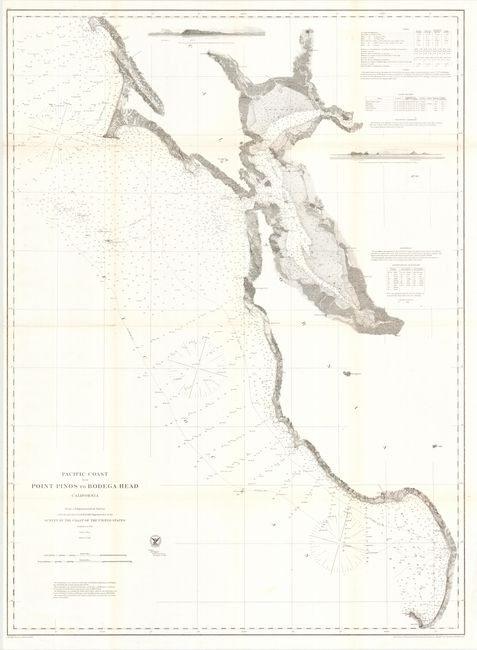
"Pacific Coast from Point Pinos to Bodega Head California", U.S. Coast Survey

Subject: California

Period: 1862 (dated)

Publication:

Color: Black & White

Size:
28 x 38.5 inches
71.1 x 97.8 cm
Download High Resolution Image
(or just click on image to launch the Zoom viewer)

This large and detailed chart extends from Monterrey Bay north to Bodega Bay, including all of San Francisco and San Pablo bays, and north to Petaluma. It is filled with information including soundings, light houses, islands and remarkable coastline detail. Cities of Oakland, Vallejo, Benicia, Brooklyn, Union City, Redwood City and more are located. This map provides a terrific view of the development of the region around San Francisco little more than a decade after the start of the Gold Rush.

References:

Condition: A

Issued folding, now pressed and rolled. Some reinforcement on verso at fold intersections and on a couple short fold separations.

Estimate: $120 - $160

Sold for: $90

Closed on 9/20/2006

Archived