Catalog Archive
Auction 116, Lot 200

"Map No. 10 United States", Burgess, Daniel

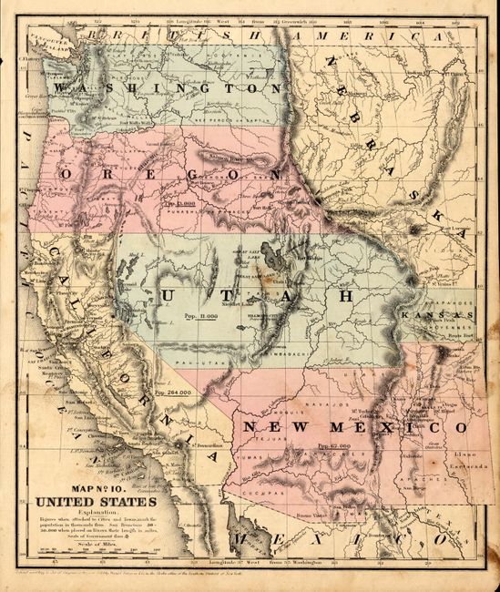
Subject: Western United States

Period: 1853 (dated)

Publication:

Color: Hand Color

Size:
8.8 x 10.3 inches
22.4 x 26.2 cm
Download High Resolution Image
(or just click on image to launch the Zoom viewer)

A very nice map of the West that displays early territorial boundaries. New Mexico Territory is shown with the post-Gadsden Purchase border and the northern extension into today's Colorado. Oregon and Washington extend to the Continental Divide and a huge Nebraska occupies the area to the east with a small area east of Utah labeled Kansas. The large Utah Territory extends from California to the Continental Divide and locates the capital at Fillmore City, and the Great Salt Lake City. Each state/territory is labeled with their population: Utah 11,000, New Mexico 62,000, Oregon 13,000, and California 264,000. Numerous Indian tribes and military forts are identified. Dated 1853, but likely published in 1854-55.

References:

Condition: B

Very nice impression and coloring. A couple brown smudges, one over Salt Lake, else very good.

Estimate: $140 - $180

Sold for: $120

Closed on 9/20/2006

Archived