Catalog Archive
Auction 116, Lot 182

"Map of Minnesota Territory", Young, James H.

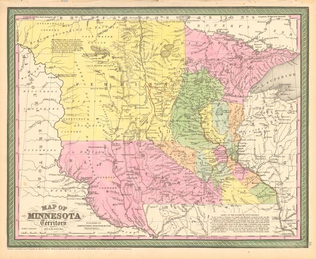
Subject: Midwestern United States, Minnesota, Dakota

Period: 1850 (dated)

Publication:

Color: Hand Color

Size:
16 x 12.8 inches
40.6 x 32.5 cm
Download High Resolution Image
(or just click on image to launch the Zoom viewer)

A great, early map of the region showing Minnesota Territory extending to the Missouri River with most of the territory divided into Blue Earth and Pembina regions. Recent information on the Chippewa and Sioux treaties of 1851 is contained in a note at bottom. The location of several forts on the Missouri River are shown including Fort Mandan where Lewis & Clark are noted to have wintered in 1804-05. The territory was created in 1849 and granted statehood in 1858. Published circa 1852 by Cowperthwait, Desilver & Butler despite the 1850 date on the map.

References:

Condition: A

Beautiful original full hand coloring and good impression. Two insignificant spots, otherwise fine.

Estimate: $200 - $250

Sold for: $130

Closed on 9/20/2006

Archived