Catalog Archive
Auction 116, Lot 156

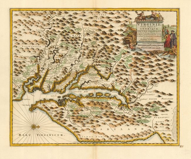
"Virginie, Grande Region de l'Amerique Septentrionale, avec tous ses Bourgs, Hameaux, Rivieres et Bayes, Suivant les Recherches Exactes de ceux qui l'ont Decouverte…", Aa, Pieter van der

Subject: Colonial Mid Atlantic

Period: 1729 (published)

Publication: La Galerie Agreable du Monde

Color: Hand Color

Size:
14 x 11.3 inches
35.6 x 28.7 cm
Download High Resolution Image
(or just click on image to launch the Zoom viewer)

This is a rare map of the Chesapeake Bay based on the Hondius/Blaeu version of John Smith's prototype. Only 100 editions of Van der Aa's sumptuous La Galerie Agreable du Monde were published, and this map does not appear to have been used in any other of his publications. Van der Aa purchased the plates of various Dutch publishers including those of Jacob van Meurs, who originally published this map under the title Nova Virginiae Tabula in Montanus' De Nieuwe en onbekende Weereld… in 1671. The plate has been revised with a single title cartouche, a scale in German and French leagues, and the addition of longitude figures in the borders. Some new names, including three counties in eastern Maryland, have been added to the already extensive place names.

References: Phillips (A) #3485, v. 64 no. 1; Tooley (Amer) p. 169.

Condition: A+

Remarkably fine impression. Manuscript page number in bottom right margin.

Estimate: $2,400 - $3,000

Sold for: $1,800

Closed on 9/20/2006

Archived