Catalog Archive
Auction 116, Lot 108

"An Exact Map of Nova Scotia, Newfoundland, Gulf and River St. Laurence, and Coast of Labrador, from the latest Observations", Russell, John C.
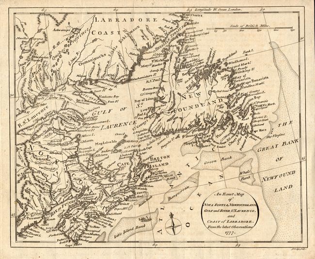
Subject: Canada

Period: 1777 (dated)

Publication: The History of America

Color: Black & White

Size:
10 x 8.3 inches
25.4 x 21.1 cm
Download High Resolution Image
(or just click on image to launch the Zoom viewer)

This uncommon map extends from Penobscot Bay up the Labrador coast to Cape Charles, east to include all of the Maritimes and a good portion of the Great Bank, and west to show the mouth of the St. Laurence to beyond English Point and St. Barnabe. Numerous banks offshore including Sable Island, Banquereau, Green and Whale Banks are shown. Title in a simple oval cartouche, four point compass rose with fleur-de-lys, and single distance scale in British Miles add interest. Engraved by J. Lodge. Dated 1777 but published in Russell's work in 1778.

References:

Condition: B

Dark impression on hand laid paper with a large watermark. Near very good example with just a little foxing or toning. A couple of small puncture holes in top margin.

Estimate: $120 - $140

Sold for: $110

Closed on 9/20/2006

Archived