Catalog Archive
Auction 115, Lot 749

"Carte du Congo et du Pays des Cafres", Delisle/Covens & Mortier

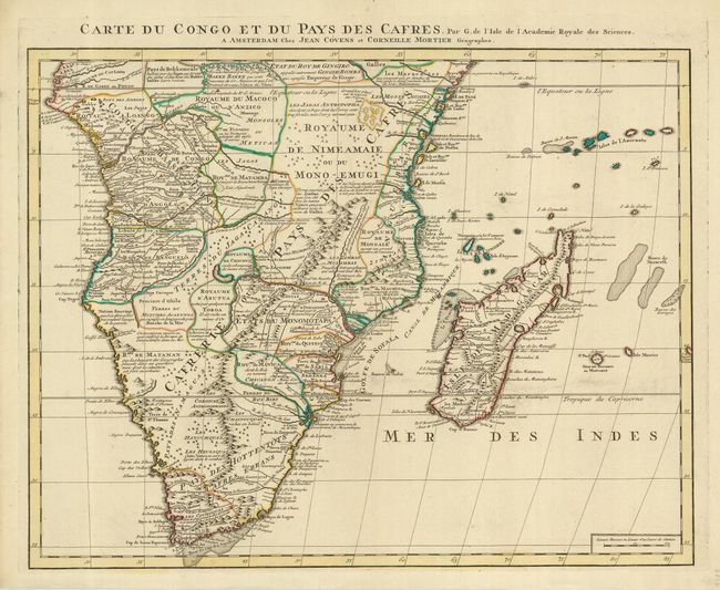
Subject: Africa - Southern

Period: 1730 (circa)

Publication:

Color: Hand Color

Size:
24 x 18.6 inches
61 x 47.2 cm
Download High Resolution Image
(or just click on image to launch the Zoom viewer)

Like all of Delisle's works, this map is distinguished by his scientific approach to cartography. His work was the basis of most African maps made in the 18th century. The map is filled with detail and comments concerning European trade, native kingdoms, and mineral wealth. This map covers Africa south of the Equator and includes Madagascar and several islands in the Indian Ocean. This is the Covens & Mortier edition.

References:

Condition: A

Very clean and crisp. Tiny hole filled at center.

Estimate: $550 - $650

Unsold

Closed on 6/21/2006

Archived