Catalog Archive
Auction 115, Lot 730

"L'Africa divisa ne' suoi principali Stati di Nuova Projezione…", Zatta, Antonio
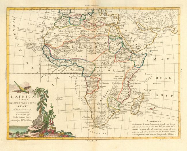
Subject: Africa

Period: 1776 (dated)

Publication: Atlante Novissimo

Color: Hand Color

Size:
15.5 x 11.7 inches
39.4 x 29.7 cm
Download High Resolution Image
(or just click on image to launch the Zoom viewer)

This Italian map is based on the cartography of Janvier and is fairly accurate for the time period although the source of the Nile is still incorrectly shown rising from two small lakes north of the equator. The unknown parts of the continent are marked as such instead of containing fictitious topography and place names. Stellenbosch is the only inland place shown in South Africa.

References: Norwich #99.

Condition: B

Lightly toned at centerfold with an area of thin paper at bottom center.

Estimate: $300 - $350

Sold for: $150

Closed on 6/21/2006

Archived