Catalog Archive
Auction 115, Lot 655

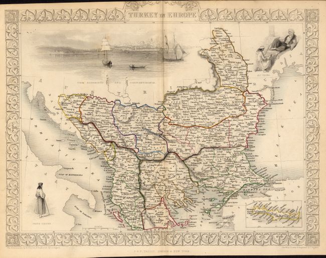
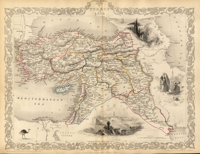
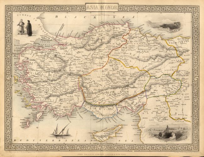
"[Lot of 3 - Turkish Empire]", Tallis, John

Subject: Turkish Empire

Period: 1850 (circa)

Publication: Illustrated Atlas and Modern History of the World

Color: Hand Color

Size:
13 x 9.8 inches
33 x 24.9 cm
Download High Resolution Image
(or just click on image to launch the Zoom viewer)

Very nice matched set of decorative steel engraved maps. The first, "Turkey in Europe," features good detail and an inset map of Candia. Uncolored vignettes include a large view of Constantinople from the Bosphorus, the native people, and an inset of Candia. The second map, "Turkey in Asia," features three engraved vignettes; a large view of Jerusalem, the castles of Europe and Asia and four figures with a spire behind. The map covers the region of present-day Turkey, Armenia, Syria, Lebanon, Israel, Jordan and Iraq. The third map, "Asia Minor," shows all of Turkey and the island of Cyprus with four vignettes; Olympus, Rhodes, native costumes, and a local sailing ship. These maps are each surrounded by a delicately engraved and decorative border. In all cases the borders and vignettes are uncolored, as issued.

References:

Condition: B

All have nice impressions with original hand color in outline, and pleasant ivory toned paper. Hint of light centerfold toning.

Estimate: $140 - $200

Sold for: $130

Closed on 6/21/2006

Archived