Catalog Archive
Auction 115, Lot 467

"Gouvernement de Bretagne, Pays d' Etats dont les Villes…",
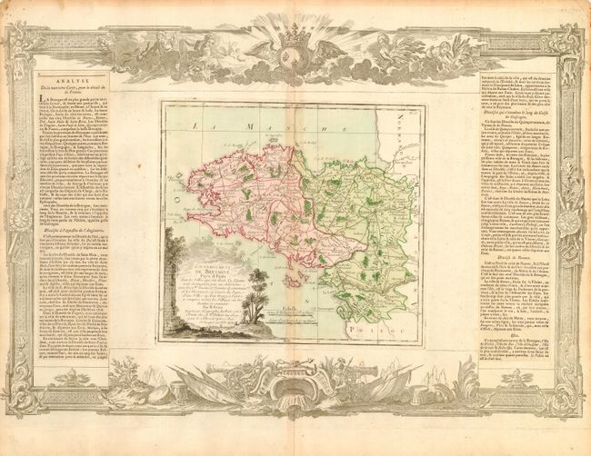
Subject: France

Period: 1771 (dated)

Publication: Atlas General Methodique et Elementaire

Color: Hand Color

Size:
21.5 x 14.5 inches
54.6 x 36.8 cm
Download High Resolution Image
(or just click on image to launch the Zoom viewer)

Beautifully engraved map that details Brittany and locates Nantes, Rennes, Vannes, St. Paul de Leon, and numerous islands. The map is flanked by two columns of French text and surrounded by a wide rococo-style frame with a military theme. The map (10 x 9") and decorative border were printed from two separate copper plates and assembled with the text for this beautiful atlas. Map is fully colored; cartouche and decorative border are uncolored, as issued.

References:

Condition: B

Map has a crisp impression and fine original color and original margins. Lightly toned along centerfold, else very good.

Estimate: $120 - $160

Unsold

Closed on 6/21/2006

Archived