Catalog Archive
Auction 115, Lot 389
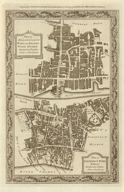
"Plan of Billingsgate Ward and Bridgeward Within. Divided into Parishes from a New Survey [and] Plan of Faringdon Ward, Without, Divided into Parishes from a New Survey",
Subject: England, London
Period: 1784 (circa)
Publication: William Thornton's New & Complete History & Survey of London & Westmenster, &c.
Color: Black & White
Size:
8.2 x 12.5 inches
20.8 x 31.8 cm
Download High Resolution Image
(or just click on image to launch the Zoom viewer)
(or just click on image to launch the Zoom viewer)