Catalog Archive
Auction 115, Lot 378

"Les Isles Britanniques ou sont le Rme. d'Angleterre…", Delisle, Guillaume
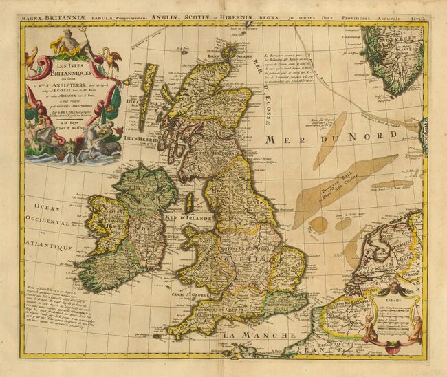
Subject: Britain

Period: 1730 (circa)

Publication:

Color: Hand Color

Size:
21.7 x 18 inches
55.1 x 45.7 cm
Download High Resolution Image
(or just click on image to launch the Zoom viewer)

Striking map of the British Isles done with Delisle's characteristic crisp style and topographical detail. The bottom right shows the coasts of the Netherlands, Belgium, and northern France and at the upper right is the southern tip of Norway. The large title cartouche incorporates figures and sea monsters and is surmounted by Neptune. Another decorative cartouche contains five distance scales. Published by Pieter Husson. Latin title above top border, " Magnae Britanniae Tabula, Comprehendens Angliae, Scotiae, ac Hiberniae Rigna…"

References:

Condition: B

Minor toning with some creasing along centerfold. Margins trimmed but still more than adequate for framing.

Estimate: $450 - $550

Sold for: $325

Closed on 6/21/2006

Archived