Catalog Archive
Auction 115, Lot 320

"The Coast of Mexico from Laguna de Esmotes to Punta Brava", Jefferys, Thomas
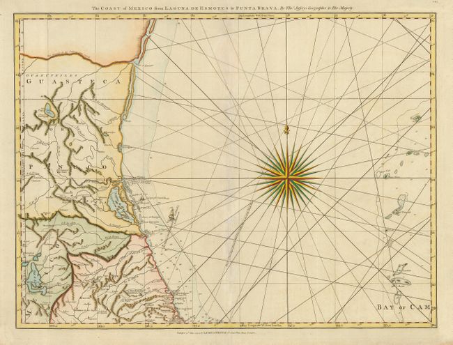
Subject: Mexico

Period: 1794 (dated)

Publication:

Color: Hand Color

Size:
25 x 19.5 inches
63.5 x 49.5 cm
Download High Resolution Image
(or just click on image to launch the Zoom viewer)

Fine nautical chart covering the northeastern coast of Mexico extending inland to show Mexico City. Several ships' tracks are shown in the Gulf including the shipping lane from Vera Cruz to Havana to avoid the trade winds and the track of the Nautilus in 1764. Beautifully engraved with rhumb lines, a splendid compass rose and tiny ships. This is one sheet of the sixteen-sheet map of the West Indies that first appeared in the West India Atlas during the Revolutionary War; sheet number CE.5 printed at upper right. This example was published by Laurie and Whittle with their imprint at bottom.

References:

Condition: B

Fine impression and attractive later color. Centerfold reinforced with tissue on verso with some soil and creasing along fold on the face of the map. Small repaired puncture in the Bay of Campeche.

Estimate: $350 - $400

Sold for: $500

Closed on 6/21/2006

Archived