Catalog Archive
Auction 115, Lot 259

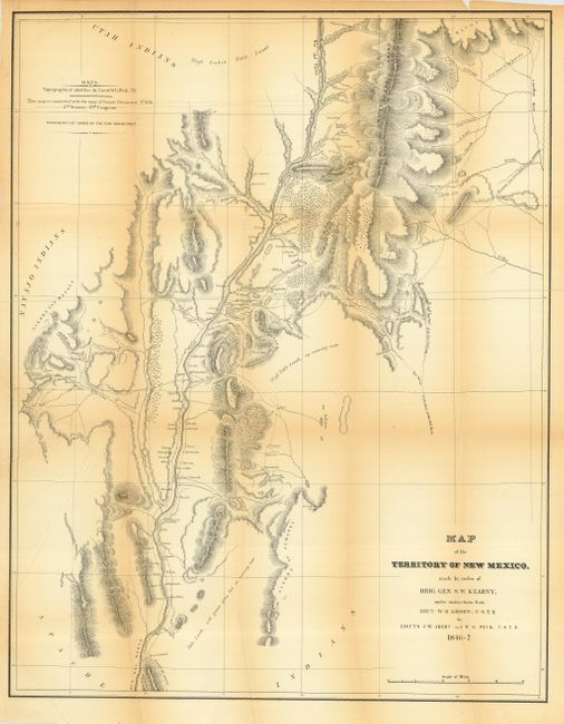
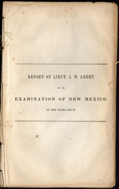
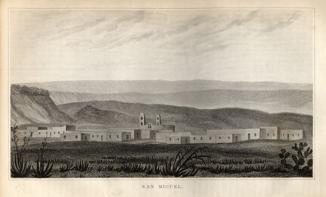
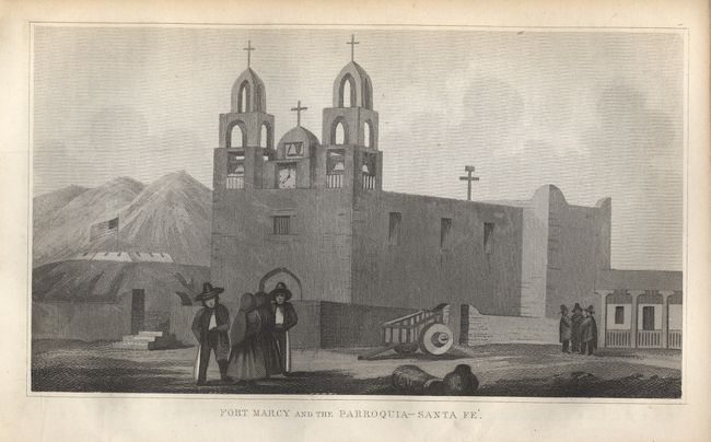
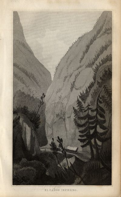
"Map of the Territory of New Mexico, made by order of Brig. Gen. S. W. Kearney… [with] Report of Lieut. J. W. Abert, of his Examination of New Mexico, in the Years 1846-47", Abert & Peck

Subject: New Mexico

Period: 1846-47 (dated)

Publication: Senate Executive Document No. 23, 30th Congress, 1st Session

Color: Black & White

Size:
19.5 x 25 inches
49.5 x 63.5 cm
Download High Resolution Image
(or just click on image to launch the Zoom viewer)

During the War with Mexico, Lieutenants Abert and Peck were enroute to the Pacific with Lieut. Emory as part of General Kearny's Army of the West, but the two were left behind due to illness. They took advantage to continue their survey efforts earlier started on Fremont's third expedition. The resulting map is a very detailed look at the Rio Grande Valley and some adjacent areas including the pueblos of Laguna and Acoma. This important map, illustrated in Wheat, is roughly centered on Santa Fe. It details the territory along the Rio Grande from above Taos south to well below Socorro and San Antonio to the ruins at Valverde. Excellent detail of the topography and watershed to either side of the river with the mountains shown via hachure. Filled with place names including numerous villages and small towns, the Comanche Route from Arkansas, etc. Blank areas to the west and north are labeled Navajo Indians and Utah Indians. This map was issued with Abert's separately published report titled Report and Map of the Examination of New Mexico, not with Emory's more common Notes of a Military Reconnaissance, also issued in 1848. The standard bibliographies give Abert's issue priority, make this the first issue of this important foundation map of New Mexico. This lot includes the unbound Abert's report which includes 23 plates. Unbound, title page, pages 419 - 546, 23 plates, 7.3 X 4.3" The plates include: Santa Fe; O-CUM-WHO-WUST; Old Bark's Son AH-MAH-NAH-CO and Squaw; Las Cumbres Espanolas; San Miguel; Ruins of Pecos; The Gold Mountains near Tuerto; Fort Marcy and the Parraquia - Santa Fe; San Felippe; Pueblo de Santo Domingo; Pueblo de Santa Ana; Moquino; Acoma, No. 1; Acoma, No. 2; Acoma, No. 3; View near Rito; El Canon Inferno; Ruins of Abo; Bosque de Apache; Valverde, and three more. Historical and important map complete with its report.

References: Wheat (TMW) 532; Wagner-Camp-Becker 143; Howes A11

Condition: C

Map has a some fold splits and is delicate along toned folds; should be backed. Report is disbound with loose title page and signatures mostly loose from each other.

Estimate: $600 - $800

Sold for: $1,200

Closed on 6/21/2006

Archived