Catalog Archive
Auction 115, Lot 246

"Karte von Iowa…", Meyer, Joseph
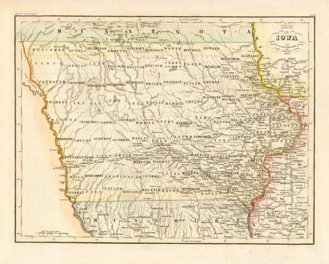
Subject: Iowa

Period: 1852 (dated)

Publication: Meyer's Hand Atlas

Color: Hand Color

Size:
15.3 x 11.5 inches
38.9 x 29.2 cm
Download High Resolution Image
(or just click on image to launch the Zoom viewer)

Very nice German map with detail of the counties, towns, roads, forts and rivers. This map was issued only six years after Iowa became a state and development is still confined to the eastern part of the state and along major waterways. The capital is located at Iowa City and Des Moines is still Fort Des Moinis. Many of the western counties are newly organized, but contain no settlements.

References:

Condition: A

Some discoloration in blank margins, toned with chalk.

Estimate: $180 - $220

Unsold

Closed on 6/21/2006

Archived