Catalog Archive
Auction 115, Lot 230

"Colorado", Cram, George F. & Company
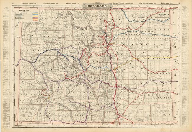
Subject: Colorado

Period: 1891 (published)

Publication: Cram's Railway Atlas

Color: Printed Color

Size:
22 x 16.3 inches
55.9 x 41.4 cm
Download High Resolution Image
(or just click on image to launch the Zoom viewer)

A large, double page map from the Railway Atlas showing twelve railroad lines with coloring. A fascinating look at Colorado at the height of mining and development. Filled with information and details including towns and settlements, roads and railroads, mining activities, survey progress, and more. An index runs along both side borders. On the verso is the "Index to State Map of Colorado" that details railroads, counties (54), and a nearly two page listing of towns with population and index to map.

References:

Condition: A+

Clean map with crisp impression. Two thumb prints in lower margin.

Estimate: $80 - $120

Sold for: $90

Closed on 6/21/2006

Archived