Catalog Archive
Auction 115, Lot 204

"Map Showing Routes of the River and Land Parties Engaged in Exploring the Grand Canon of the Colorado", Wheeler, George (Lt)

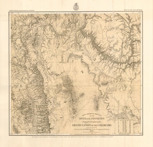
Subject: United States - Western

Period: 1871 (dated)

Publication: US Geographical Surveys

Color: Black & White

Size:
16.3 x 15 inches
41.4 x 38.1 cm
Download High Resolution Image
(or just click on image to launch the Zoom viewer)

This is the map of Wheeler's epic journey in 1871 up the Colorado River from Camp Mohave (near Needles, Arizona) to Diamond Creek. Published in 1878, it shows the course of the Colorado River from the California line to about midway up the Grand Canyon. A table lists the dates and camps of the river party, each keyed to the map. Detailed geographic information makes this a valuable record of western exploration.

References: Wheat [TMW] #1292

Condition: A

Nice impression and wide, original margins. Folding, as issued with a little paper surface splitting along folds due to thick paper, else fine.

Estimate: $250 - $300

Sold for: $180

Closed on 6/21/2006

Archived