Catalog Archive
Auction 115, Lot 135

"The United States of America", Colton, Joseph Hutchins

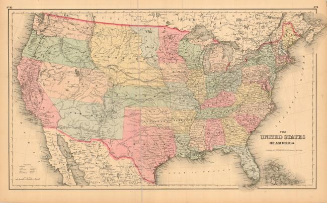
Subject: United States

Period: 1855 (dated)

Publication: General Atlas

Color: Hand Color

Size:
25 x 14.6 inches
63.5 x 37.1 cm
Download High Resolution Image
(or just click on image to launch the Zoom viewer)

A great map of the United States with early western territorial boundaries. Minnesota now has its correct state boundary with the newly formed Dacotah Territory wedged between it and the huge Nebraska region that extends to the Continental Divide at the Rocky Mountains. The large Kanzas Territory borders Utah and New Mexico in the west as there is no Colorado. Washington and Oregon both extend eastward to the Rocky Mountains and the Continental Divide. Utah and New Mexico are both shown in their largest configurations. Sheet is filled with details and place names, forts, Indian Tribes, emigrant roads and much more. Several exploration routes are shown, including those of Fremont, Marcy, and Kearney. Dated 1855, but it most likely was published in 1857. Professionally encapsulated in archival Mylar.

References:

Condition: A

Very nice example with a hint of very light offsetting in a couple blank areas, else fine.

Estimate: $350 - $450

Sold for: $250

Closed on 6/21/2006

Archived