"Amerique Septentrionale dressee sur les Relations les plus modernes des Voyageurs et Navigateurs ou se remarquent les Etats Unis…", Robert de Vaugondy, Didier
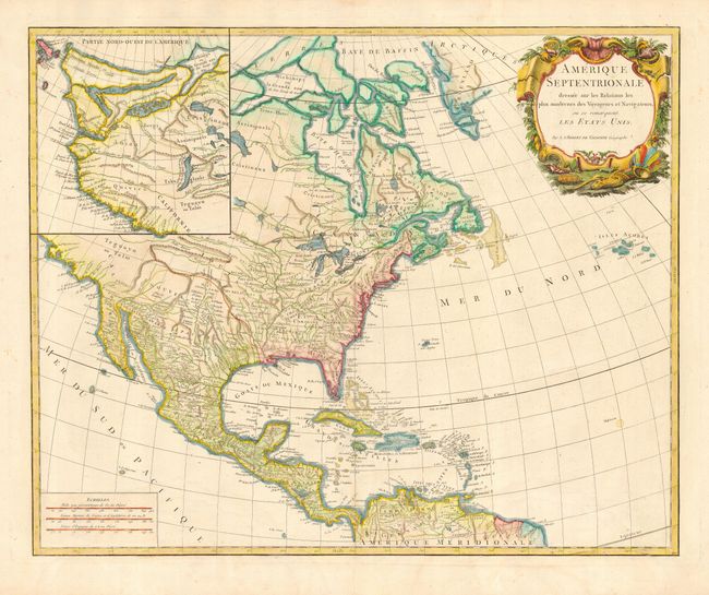
Handsome chart of North America with a large inset of the northwest region featuring the mythical cartography of the period. Included in the inset are Lake de Fonte (Sea of the West) with waterways connecting the Pacific to the Great Lakes, and Tahuglauks noted as a large salt lake from which the River of the West flows to the Pacific. This is the later edition noted as State 6 by Pedley. This version adds several new elements including I. Shelrock, the Bermudas, and most importantly delineates the new United States. It also improves the configuration of the Great Lakes after d'Anville (originally drawn on the Bellin model). The large title cartouche balances the inset in the opposite upper corner.
References: Pedley #450.
Condition: B
Later full color. Faint damp stains at bottom, mostly affecting blank margins.