Catalog Archive
Auction 114, Lot 87

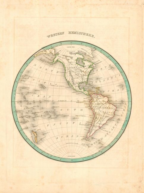
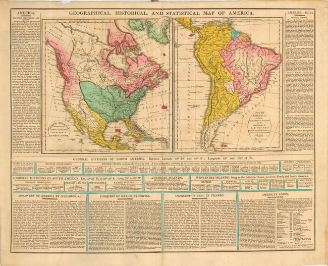
"[Lot of 2] Geographical, Historical, and Statistical Map of America [and] Western Hemisphere",

Subject: Western Hemisphere

Period: 1813-35

Publication:

Color: Hand Color

Size:
See Description
Download High Resolution Image
(or just click on image to launch the Zoom viewer)

The first map is from Aspin/Lavoisne's Genealogical, Historical, Chronological & Geographical Atlas, dated 1813. It features two maps (15.6 x 8.6") on a folio sheet (21.3 x 17") surrounded by English text containing a great history of the Americas. In North America the United States is shown to include the new purchase of Louisiana but stopping short of the Pacific coast, which is shown to belong to Britain. Spain controls Florida, Mexico and the Southwest. South America is shown divided between Spain and Portugal except for French and Dutch Guyana, with the heart of the Amazon and Patagonia still possessed by native peoples.

The second map is by Thomas Bradford, circa 1835, 8" hemisphere. The map extends to include the Kamtchatka Peninsula and part of Asia. Locates the major rivers of the continent, numerous South Pacific islands and a vague outline of Antarctica. Hand colored in outline.

References:

Condition: B

Both with original hand coloring and full margins. Some light scattered foxing, else very good.

Estimate: $140 - $160

Sold for: $100

Closed on 3/1/2006

Archived