Catalog Archive
Auction 114, Lot 752

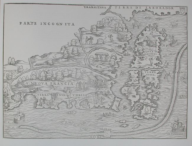
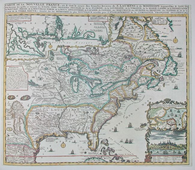
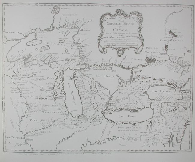
"The Northpart of America", Verner & Stuart-Stubbs
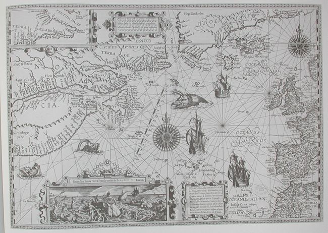
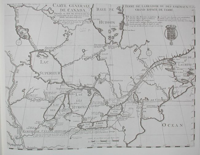
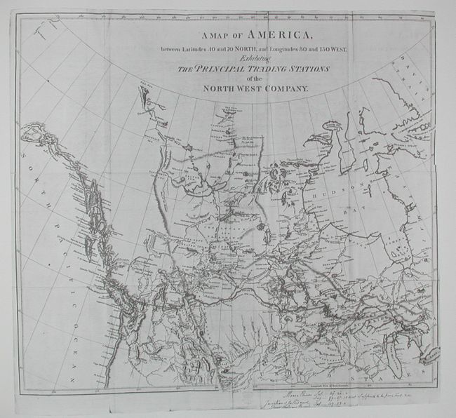
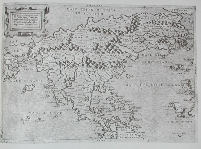
Subject: Reference Books

Period: 1979 (dated)

Publication: Academic Press Canada Ltd.

Color: Printed Color

Size:
13.5 x 16 inches
34.3 x 40.6 cm
Download High Resolution Image
(or just click on image to launch the Zoom viewer)

The definitive cartographic reference work on Canada, but equally relative to North America. Carto-bibliography of maps published between the 16th (Forlani) and the 19th (Arrowsmith) centuries. The book is divided into seven sections: Part I: The World In 1562, Part II: Initial Exploration and Settlement 1556-1693, Part III: The Period of Expansion - Eastern Canada 1703-1843, Part IV: Exploring And Settling Central Canada 1597-1819, Part V: The Arctic 1595-1875, Part VI: Opening The Pacific Northwest 1566-1871, and Part VII: The Culmination 1858. The appendix contains detailed descriptions of the maps reproduced, together with notes about other maps related to them. 304 pp. including 46 maps (5 colored). Frontis is hand-numbered 1306 of a limited edition of 1500 and signed by the authors. Pictorial, gold-stamped cloth over boards, housed in a matching slipcase.

References:

Condition: A+

Book appears to be unopened, mint. Slip cover is also fine.

Estimate: $200 - $300

Sold for: $200

Closed on 3/1/2006

Archived