Catalog Archive
Auction 114, Lot 732

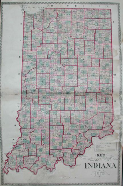
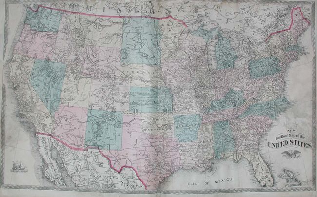
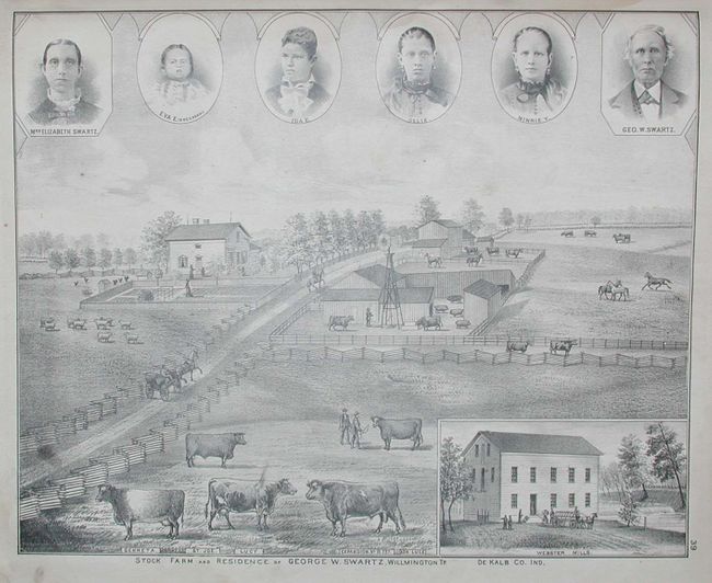
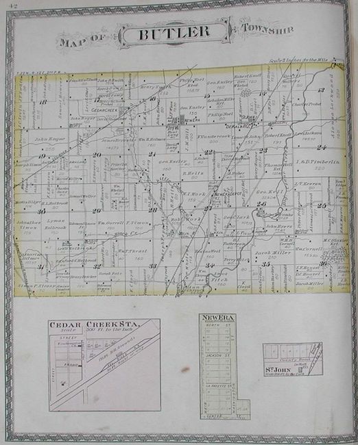
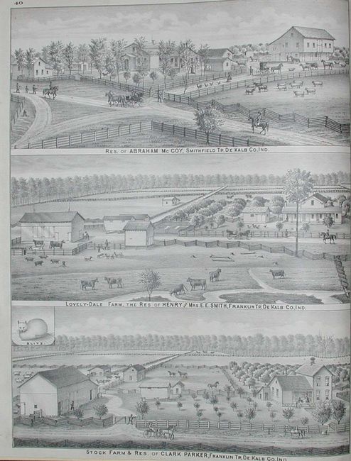
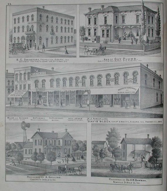
"Atlas of De Kalb Co Indiana To Which Are Added Various General Maps History, Statistics Illustrations. &c. &c. &c.", Beers & Co., J.H.

Subject: Atlases, Indiana

Period: 1880 (dated)

Publication:

Color: Hand Color

Size:
14.5 x 17 inches
36.8 x 43.2 cm
Download High Resolution Image
(or just click on image to launch the Zoom viewer)

A very nice, complete folio county atlas of the state. Hardbound in black cloth, title page, Index to de Kalb County Atlas, text, maps and plates, Partial List of Patrons, 65 pp. Fine collection of maps and town plans, and charming stone lithographed views of important buildings including schools, court houses, businesses, prominent residences, horse ranches, and farms. Includes large folding plan of Auburn, double-page map of Indiana, double-page hemispheric world map, and double-page of the United States. An uncommon atlas that provides a graphically detailed and fascinating story of De Kalb county.

References:

Condition: B

Rebound in black cloth with new end papers. Some mold on the last few pages that effects the U.S. and world map, and to a lesser degree the Indiana map. Three pages have full tears across map or view, closed with tape.

Estimate: $200 - $250

Sold for: $150

Closed on 3/1/2006

Archived