Catalog Archive
Auction 114, Lot 59

"A Map of Principal Rivers shewing their courses, countries, and comparative lengths", SDUK Society for the Diffusion of Useful Knowledge

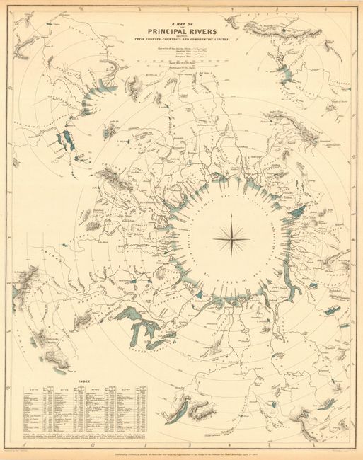
Subject: Cartographic Miscellany - Rivers

Period: 1834 (dated)

Publication:

Color: Hand Color

Size:
12.2 x 15.5 inches
31 x 39.4 cm
Download High Resolution Image
(or just click on image to launch the Zoom viewer)

Very interesting comparative chart uniquely arranged on concentric circles around a classic compass rose. The rivers are depicted with their relative distance from the sea, including an index of each river’s length in English miles. Associated towns and lakes are noted and respective countries are identified in capital letters with an index at lower left. A fine thematic map utilizing a unique method to graphically compare the rivers of the world. Only the lakes are hand colored with a green wash, the balance of the map being uncolored. Published by Baldwin and Cradock.

References:

Condition: A

Light toning in margins.

Estimate: $190 - $230

Sold for: $140

Closed on 3/1/2006

Archived