Catalog Archive
Auction 114, Lot 434

"Gouvernement General de Picardie et Artois", Robert de Vaugondy
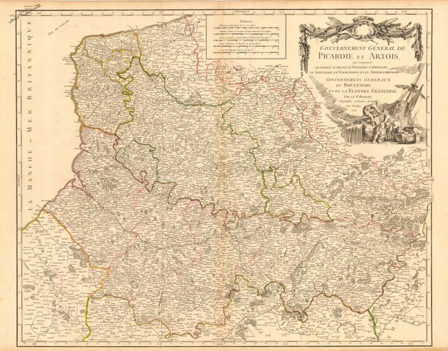
Subject: France

Period: 1753 (dated)

Publication:

Color: Hand Color

Size:
23 x 19 inches
58.4 x 48.3 cm
Download High Resolution Image
(or just click on image to launch the Zoom viewer)

Finely engraved copper plate map with remarkable detail throughout. The map is roughly centered on Perone and shows the course of the rivers Some, Escaut, Oyse, and several more. The map extends from Dunkerque on the coast south to show Compiegne on the Oyse River, west to show part of Normadie, and east as far as Signy in the Champagne region. Names the towns of Phillippeville, Beaumont, Condy, Courtay, La Fere, Boulogne, and hundreds more. Decorated with a fine title cartouche featuring stevedores unloading a sailing ship. Five distance scales.

References: Pedley #96

Condition: B

Fine impression with layout lines still evident in title. Original outline coloring. Lightly toned at centerfold and marginal edges.

Estimate: $120 - $140

Unsold

Closed on 3/1/2006

Archived