Catalog Archive
Auction 114, Lot 428

"Schlestat une des dix villes Imperiales d'Alsace au Roy Situee Sur la Riviere d'Ill", Fer, Nicolas de
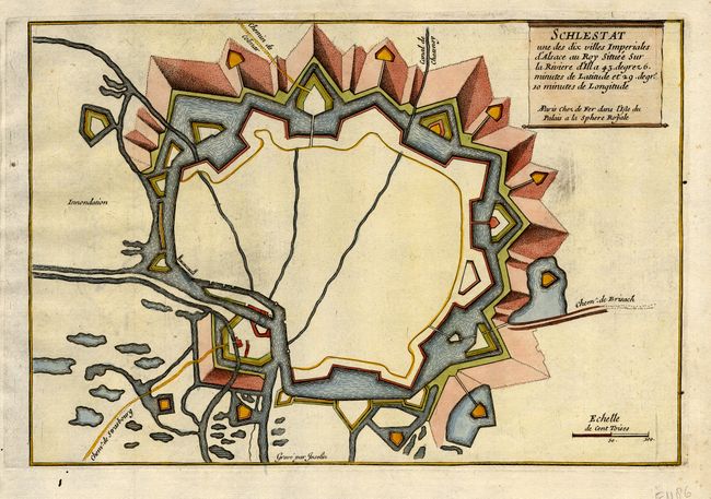
Subject: France

Period: 1696 (circa)

Publication: Les Forces de l' Europe…

Color: Hand Color

Size:
10.8 x 7.4 inches
27.4 x 18.8 cm
Download High Resolution Image
(or just click on image to launch the Zoom viewer)

Handsome bird's-eye plan of the fortification of Selestat in Alsace, which was designed by Vauban, the foremost military engineer of his age. These fortification are an early example of Vauban's "first system" of fortification, which remained the accepted standard till comparatively recent times. Engraved by C. Inselin and published by Nicolas de Fer, Geographer at Louis XIV's court. He was one of the most prolific publishers of plans of European cities in the late seventeenth century.

References: Pollak #21.

Condition: A

Estimate: $80 - $100

Sold for: $60

Closed on 3/1/2006

Archived