Catalog Archive
Auction 114, Lot 316

"Carte Reduite de l'Isle de Cube Dressee au Depot des Cartes et Plans de la Marine, pour le Service des Vaisseaux du Roy par Ordre de Mle. Duc de Choiseul…", Bellin, Jacques Nicolas
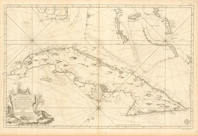
Subject: Cuba

Period: 1762 (dated)

Publication: L'Hydrographie Francoise

Color: Black & White

Size:
34.3 x 22.2 inches
87.1 x 56.4 cm
Download High Resolution Image
(or just click on image to launch the Zoom viewer)

Superb large sea chart covering all of Cuba with the Florida Keys and the southern Bahamas from Bimini eastward. The map is filled with topographical information, towns, roads, and forts. The hydrographical information includes inlets, soundings, anchorages, routes of navigation, shoals and navigational hazards. The large title cartouche features a serpent and a fierce crocodile. Stamp of the Depot de Marine in bottom right corner with Prix, trente Sols outside neatline. This map was reproduced on a 1973 Cuban postage stamp.

References: Cueto #44; Sellers & Van Ee 1780.

Condition: A

Slight toning along centerfold and a bit of very minor surface soil that can easily be cleaned with an eraser. Overall very good condition for a large sea chart.

Estimate: $1,500 - $1,600

Sold for: $1,100

Closed on 3/1/2006

Archived