Catalog Archive
Auction 114, Lot 299
"Neue Charte des Thales von Mexico und der benachbarten Gebirge", Weimar Geographisches Institut
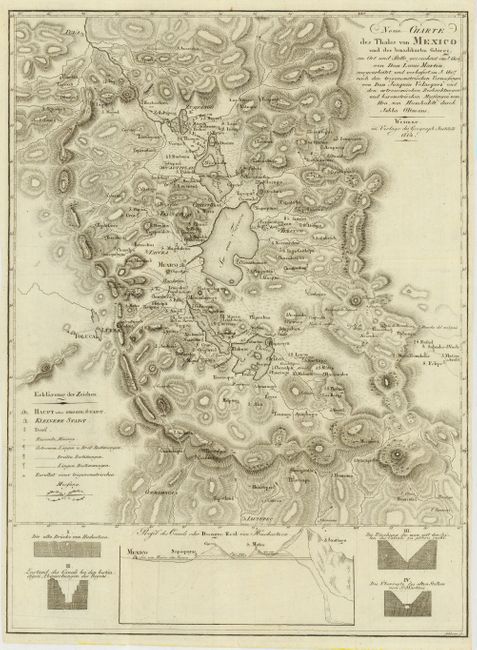
Subject: Mexico
Period: 1814 (dated)
Publication:
Color: Black & White
Size:
13 x 17.5 inches
33 x 44.5 cm
Download High Resolution Image
(or just click on image to launch the Zoom viewer)
(or just click on image to launch the Zoom viewer)